Crop Picture
NOTE: Do not upload any image that violates our Picture Policy. Doing so will result in the removal of the concerned image without prior notification.

概要
Experienced and capable GIS environment with over 2 years of professional experience. Specific skills include working with digitization and parcel mapping, transportation networks and processing oil & gas industry related data. Proficient using ESRI and AutoCAD software and handling raster data using image manipulation software.
项目
工作经历

GIS Specialist
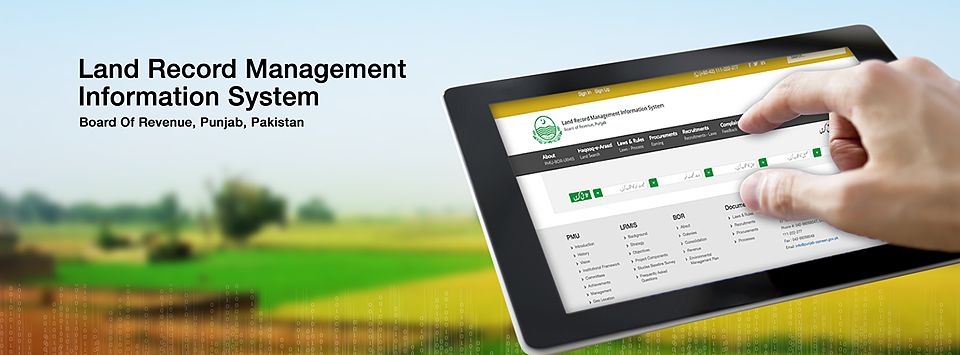
Project: Land Record Management System (LRMIS)
Scope of Work: Parcel Mapping, Attribute Entry, Update and Maintain Geo-Database.
Responsibilities: Downloading base maps, digitization, and parcel mapping, attribute entry and maintaining file based Geo-Databases, Conversion of data to appropriate classes. Attribute entry in the domain of Geodatabase. Maintaining Geo-Database, Conversion of spatial data from AutoCAD to GIS by using different tools and techniques and Analysis work.
Junior Developer
Project: Web Application Environment: React-native, native-based, android studio
Responsibilities: Responsible for design and development of various components such as tab bars, a map view, image picker, date picker, push notifications, sign-in/out features, profile management and navigation using react-native. Responsible for porting existing web application into a mobile view.
Intern
Project: Doctor Health Care Mobile App Environment: React-native, native-based, android studio Responsibilities: Attend Daily stand-up meetings (Scrum), Estimation meetings and Requirement review meetings to analyses requirements for each story card in a sprint. Designed and implemented the User Interface using JavaScript, Bootstrap, HTML5, CSS3 and LESS, JSP, AJAX. Used Angular UI, jQuery and Bootstrap plugins extensively to customize the functionalities.